This was a last-minute plan-B. Rainy days had been hampering the hiking schedule generally. The official offer on this day had been a special concession route in Bains Kloof but the Reserve manager had serious concerns about the water levels, and indeed, on good authority it was reported that our 2-hour ascent path had become a 2-hour stream! Now what? Where was it drier, not muddy, not overlapping with other meets on offer? And we found one!
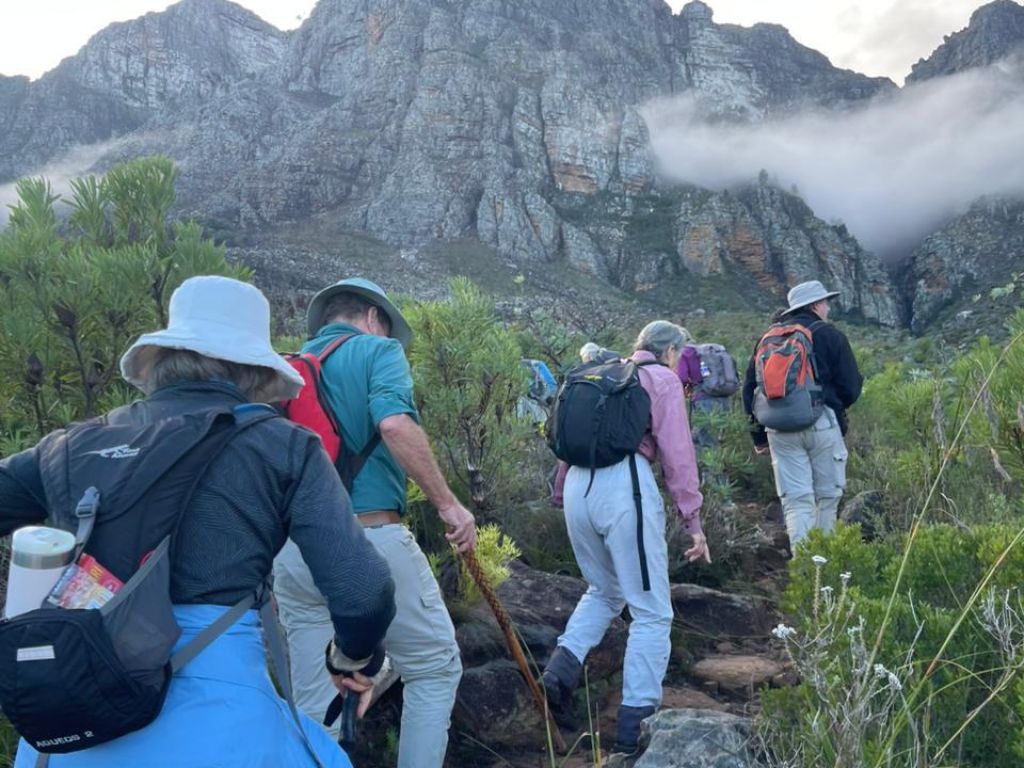
Fifteen enthusiastic hikers set off for Banhoek’s ‘hidden’ waterfall. Not a strenuous route – 8km, 400m ascent – but it became rather an adventure to get to the waterfall itself!
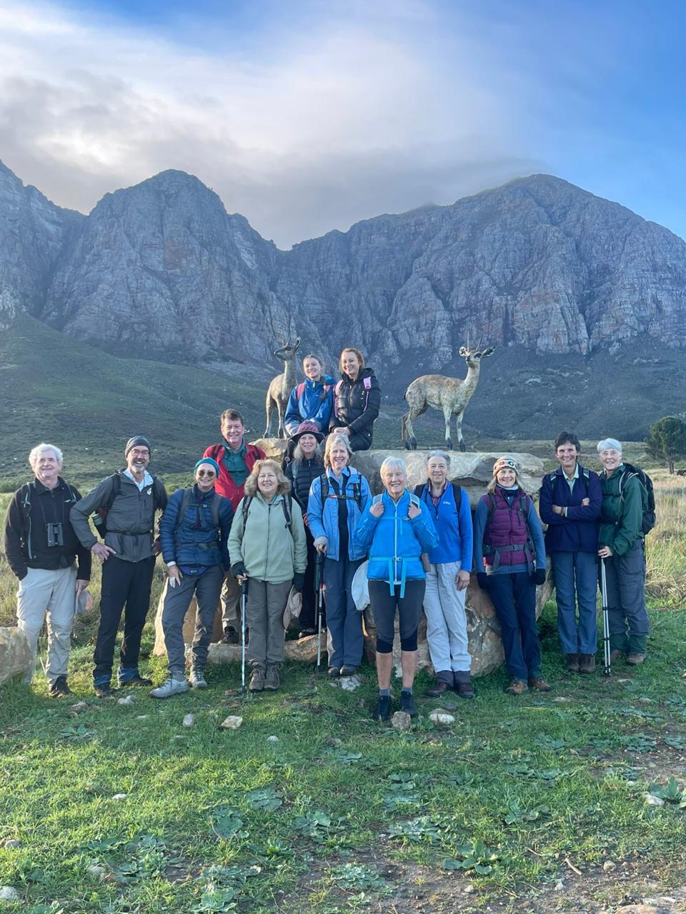
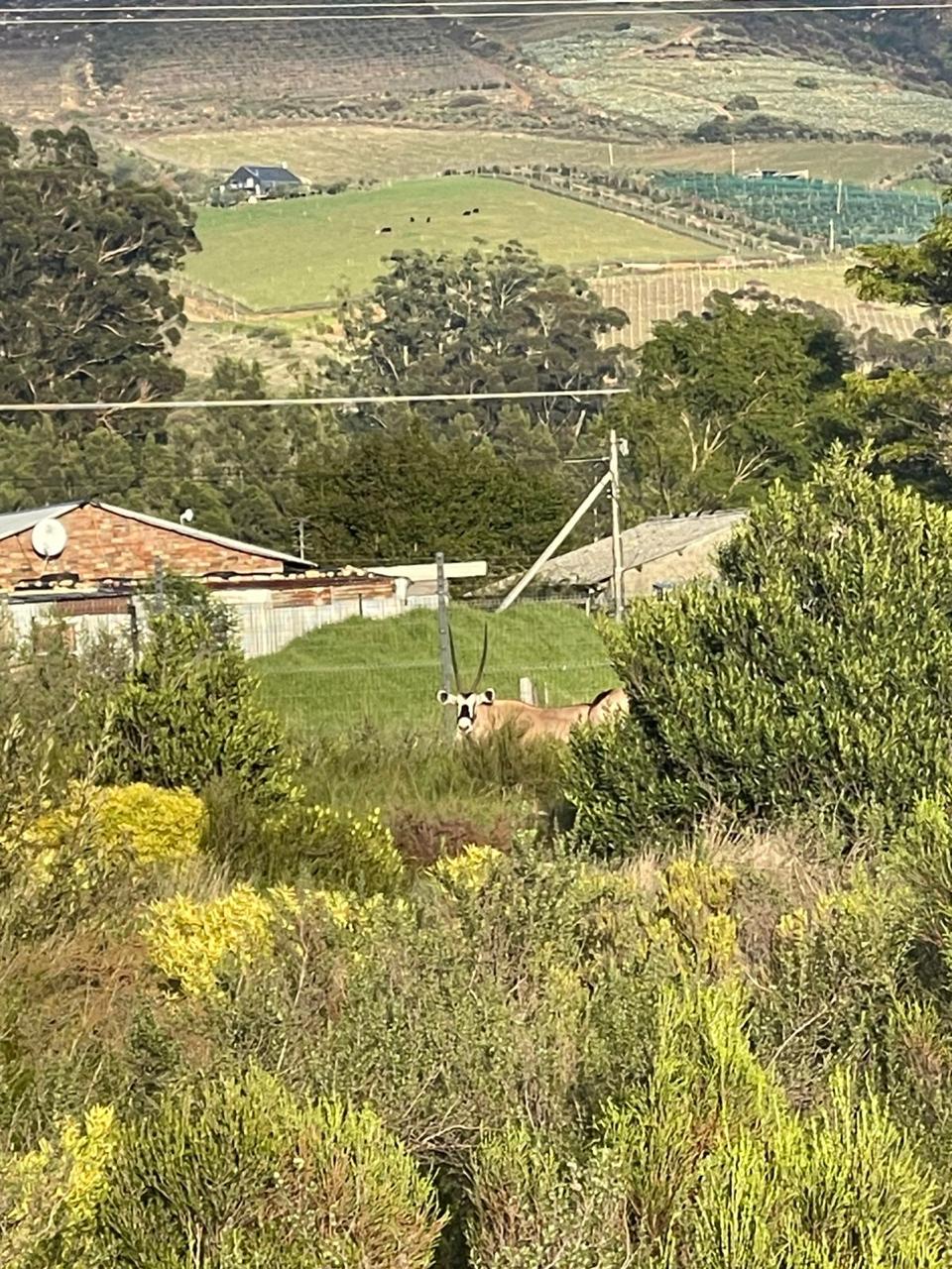
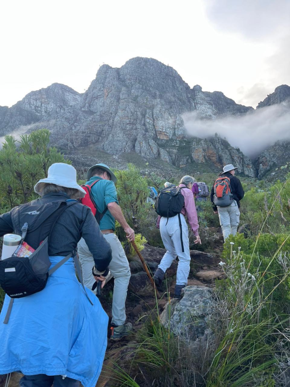
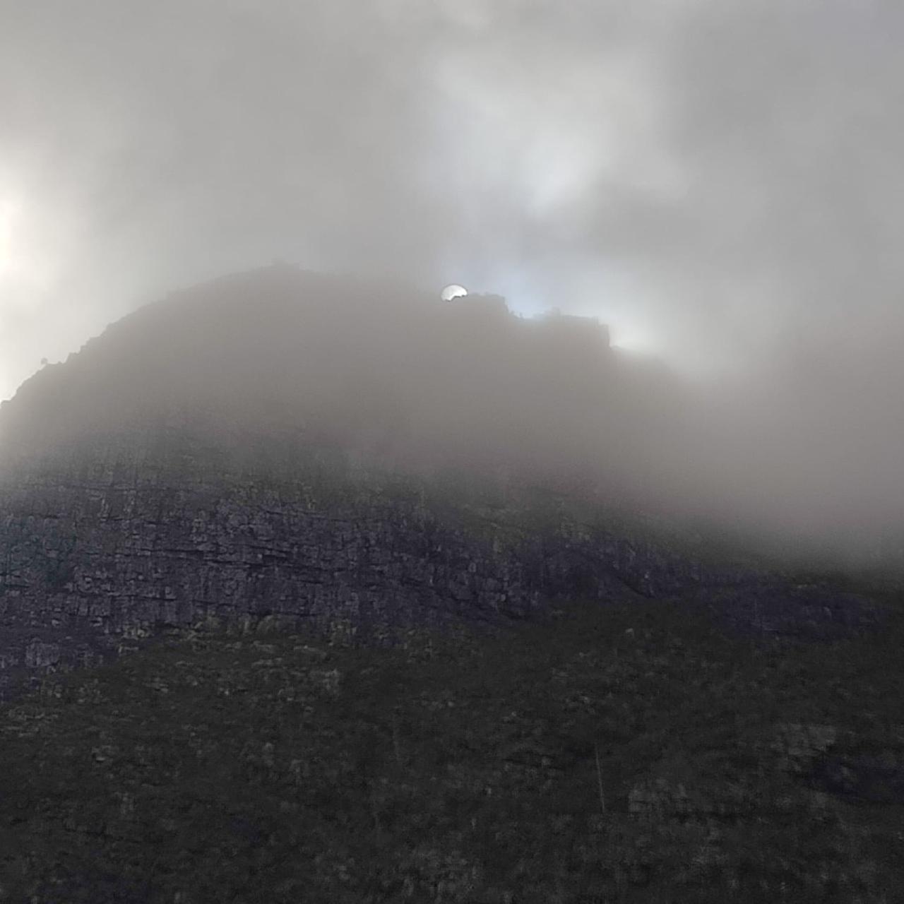
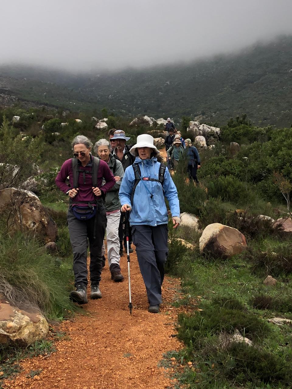
We had driven through mist to get to the start and the sun was doing its best to shine through (photo). Shortly after we started walking the group sighted 2 buck on a large rock ahead. What were they? Could they be real, just poised there? It turned out they were very realistic statues, and it seemed a perfect spot to take our group photo with the mountains as backdrop. As the path curved towards the mountain one of the group spotted REAL buck. They turned out to be gemsbok!! (Photo).
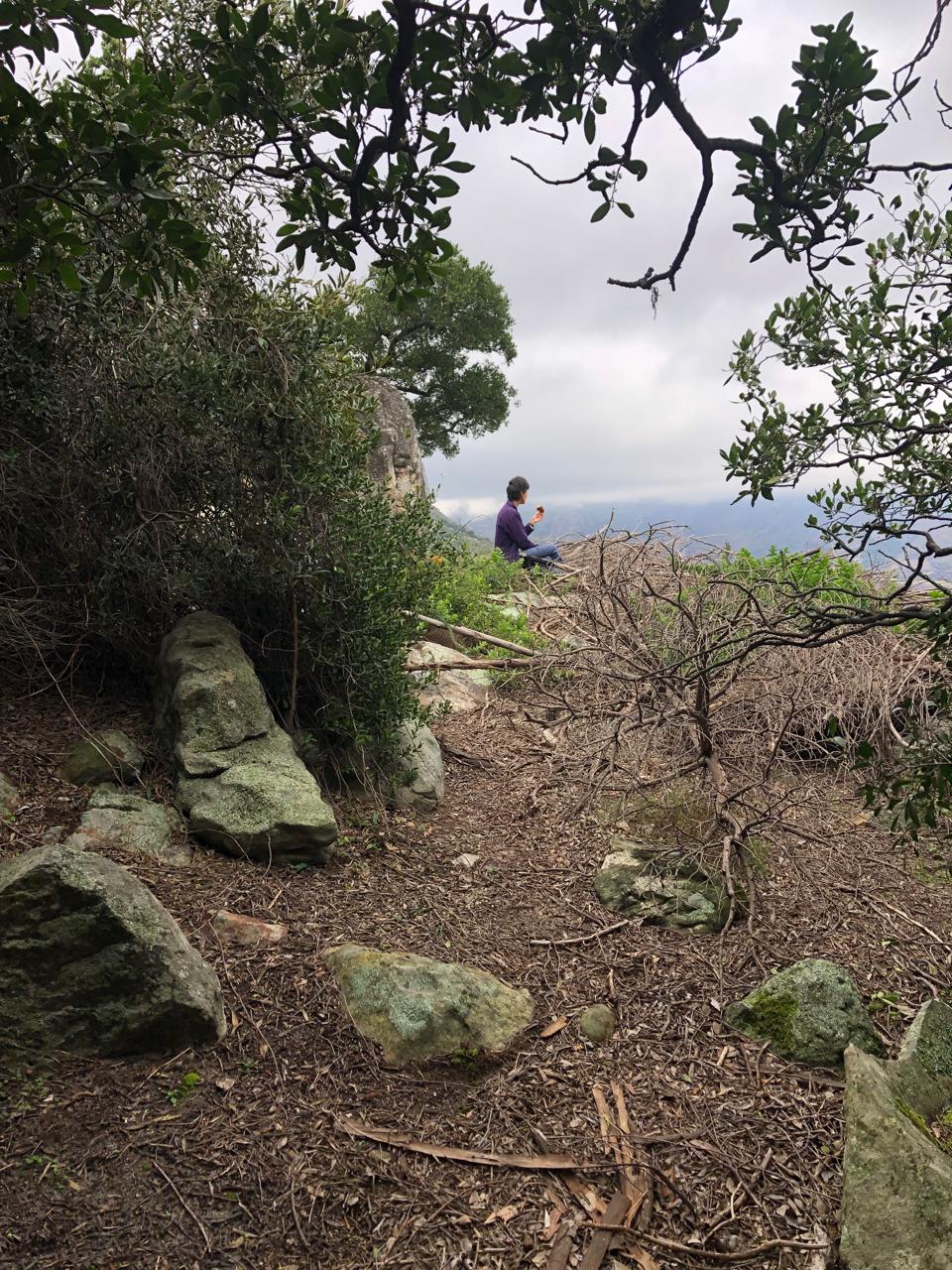
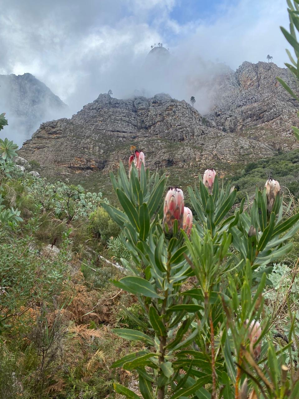
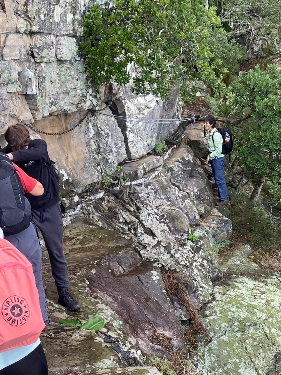
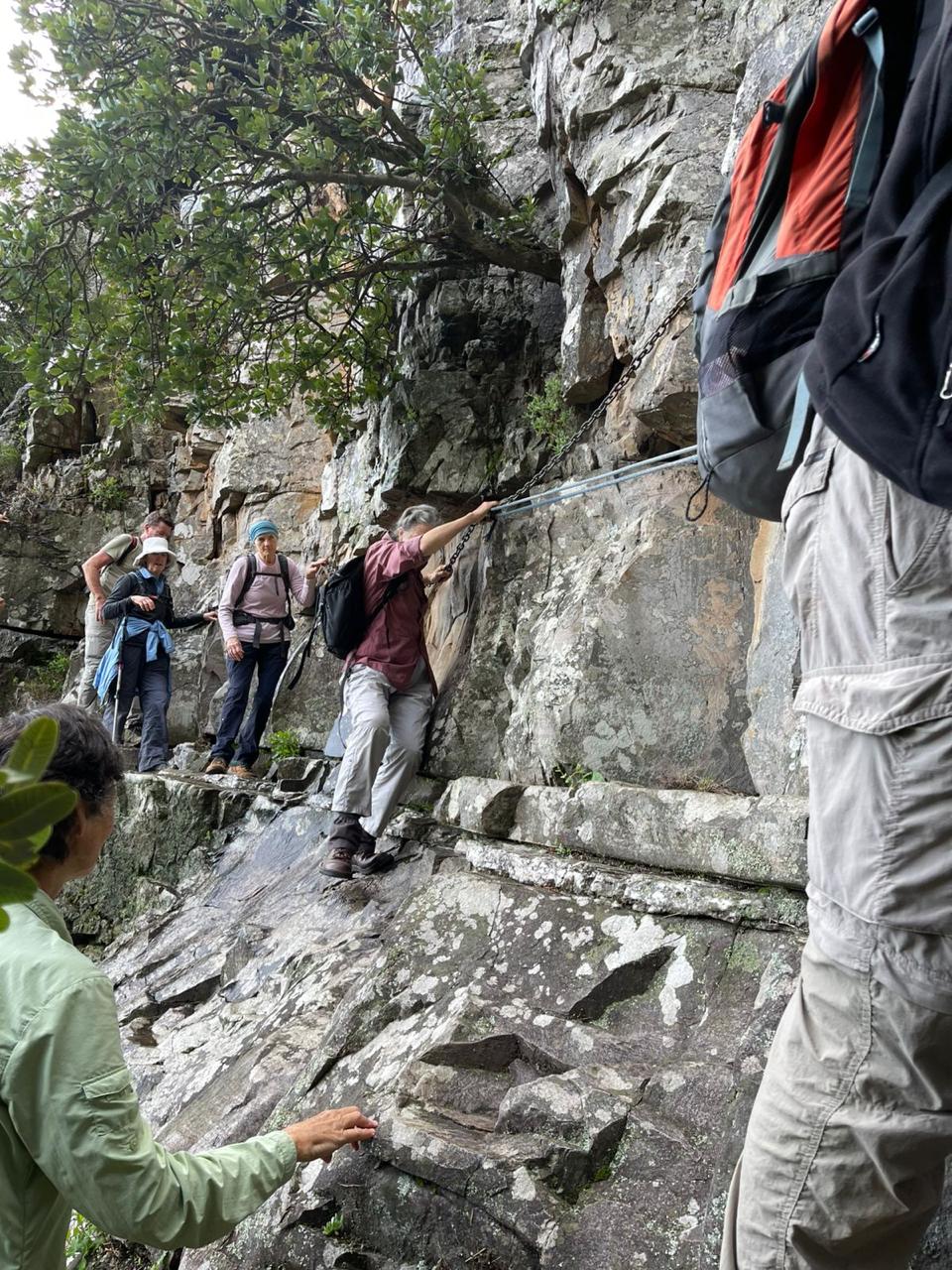
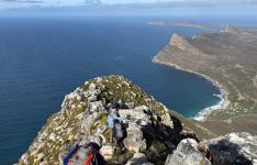
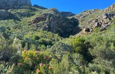
After crossing a lively stream (Ezan’s map showed that none of these had names) we headed straight for the mountains ahead where the waterfall kloof awaited our arrival. Fortunately the mist had lifted, making visibility of Buller’s Kop and Dragoon Peak good. Ahead also awaited the 300m ascent path, but we took it in a relaxed fashion. (Photo). A section still showed the remains of a veld fire, and hopefully in spring it will show bulb flowers. The path on the level section after the ascent is narrow with a serious drop-off, followed by a protected, steep rocky scramble (photo). We stopped at a roomy overhang to set out the plans for the short exposed traverse to the waterfall. The traverse does have a chain and a sturdy rope, but the constant rain in the last month since it was recce’d had put a slightly slimy, slippery surface onto the one large, downward-sloping rock before the chain. Echoes of Brent’s mountain safety speech at the previous evening’s leader function came to haunt the leader. We had all the emergency numbers at hand, but certainly did not want to have to use them!! Pam Robertson was asked to also evaluate, and bravely agreed to test the iffy section. She continued to the other end, past the chain and rope, then stayed to keep an eye from that end, while others provided support where needed to the rest as they crossed that section. (Photos)
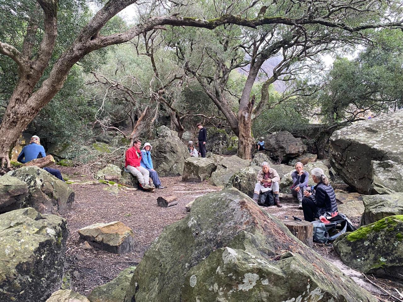
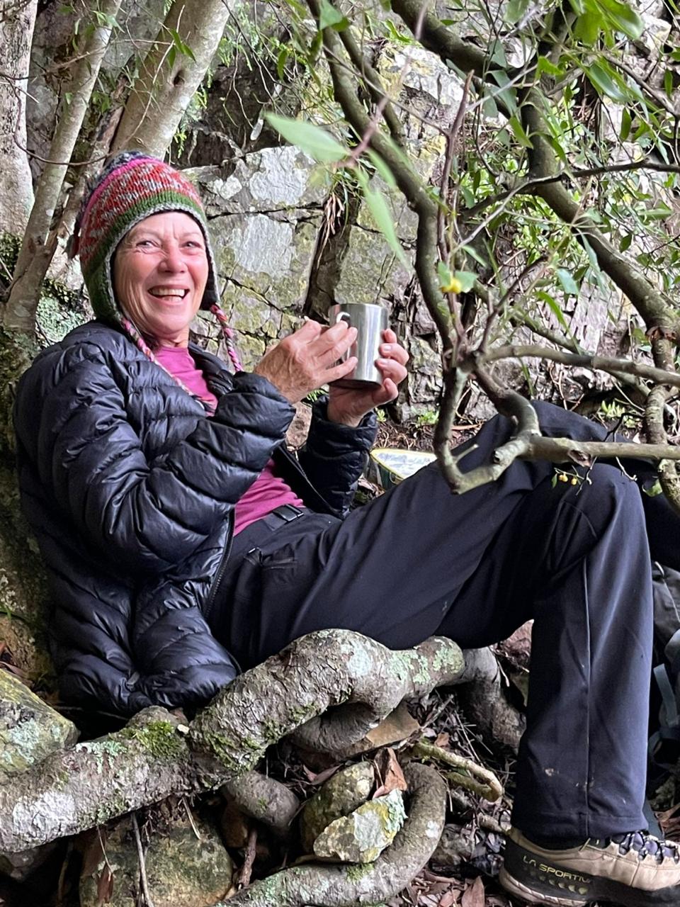
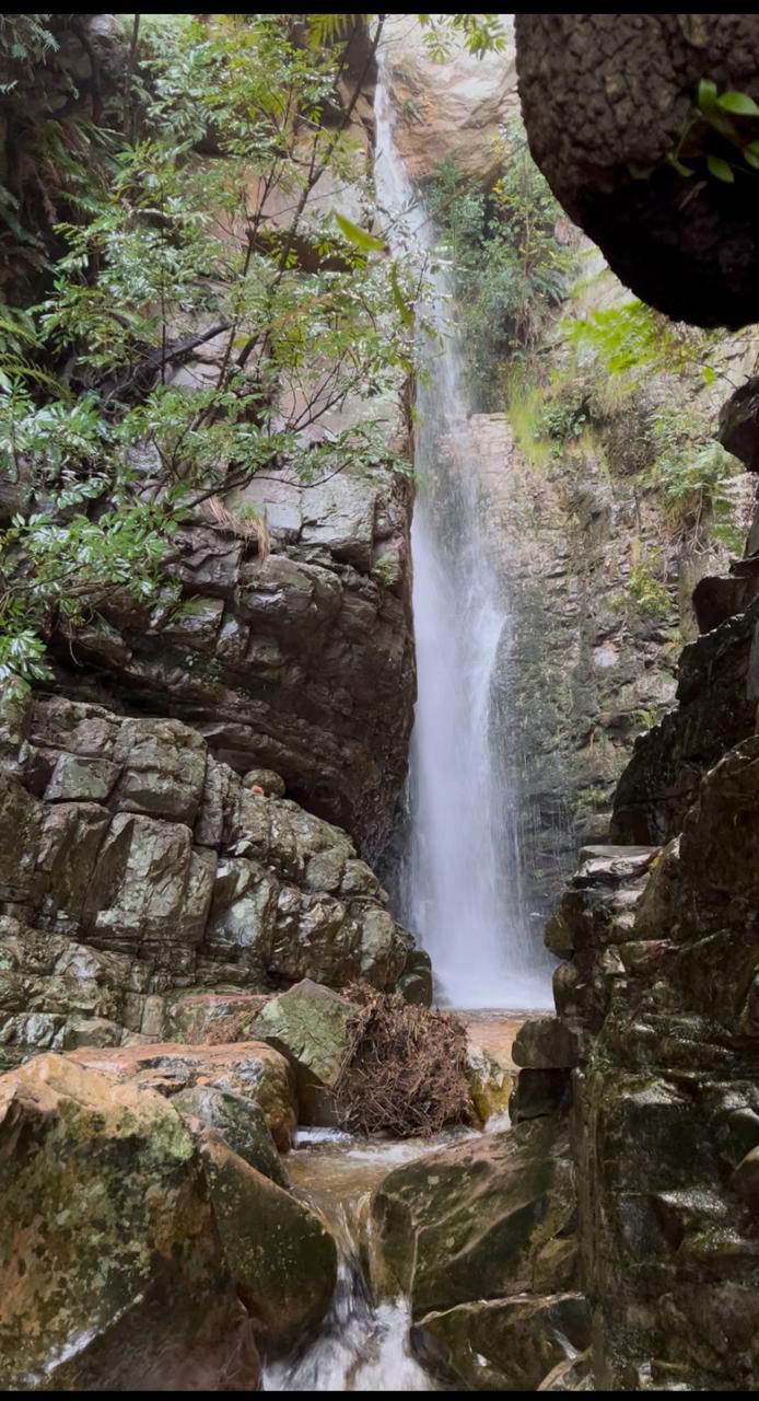
The waterfall is just around the corner from there, within a very narrow little kloof, and it was certainly thundering down into the tiny pool below it. (Photo). It had taken us 90 minutes from the start and was a good place to have tea and a good break (photo) before repeating the traverse adventure and our descent. Fortunately all went well across the traverse,down the steep rocky section and across the drop-off section.
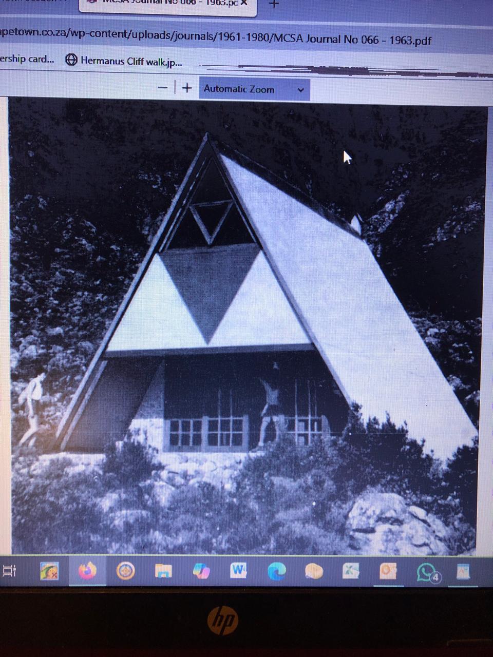
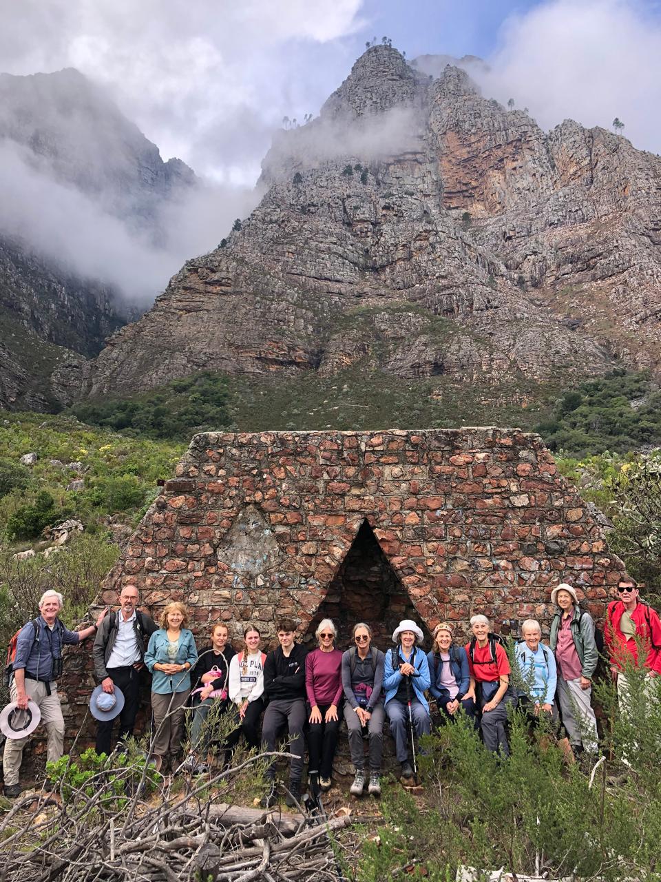
From there we did not continue the descent via the 300m ascent path, but continued across to visit the ruin of MCSA Stellenbosch section’s hut. It had been an A-frame with ice-blue, metal roof, a beautiful fireplace at one end and a broad cobbled stoep at the other end. But vandalism and eventually the fire of 2001 finally destroyed it. Another group photo with the ruin and Dragoon Peak in the background was called for. See photo of when it had just been built in 1963. From there we continued to the nearby intimate indigenous forest. A quiet and peaceful place where we had lunch before starting our descent via a slightly different path (Photos).
By now the cloud had descended to totally cover all the surrounding mountains, but fortunately no rain. We had had our views! Back at the cars just after 13:00.
A quick postscript: What we call Banhoek was previously known as Banghoek, from ‘De Bange Hoek’, which is how it was indicated on a transport map of Zeven Rivieren in the year 1704. This translates directly to ‘the scared corner’, referring to the terror no doubt struck in those who travelled over the treacherously steep mountain pass – not only for the sheerness of the slopes but also the marauding gangs and wild animals such as lion and leopard that roamed the area. The current pass does not nearly reflect what the original pass was like!